


Malecoste Overnighter
Abruzzo - ITALY
HIGH POINT
2229 m
DIFFICULTY (1/10)
8
DISTANCE
58 Km
DAYS
2
% SINGLETRACK
28%
% UNPAVED
99%
TOTAL ASCENT
2110 m
% RIDEABLE TIME
80%
The Malecoste Overnighter is more than just a ride—it's an escape into the heart of the Gran Sasso National Park, a hidden gem on the western side of the Gran Sasso mountain range. Departing from the historic outskirts of L’Aquila, this route plunges into untamed landscapes via rugged two-track roads and faint singletrack trails, leading deep into the rocky amphitheater of Chiarino Valley.
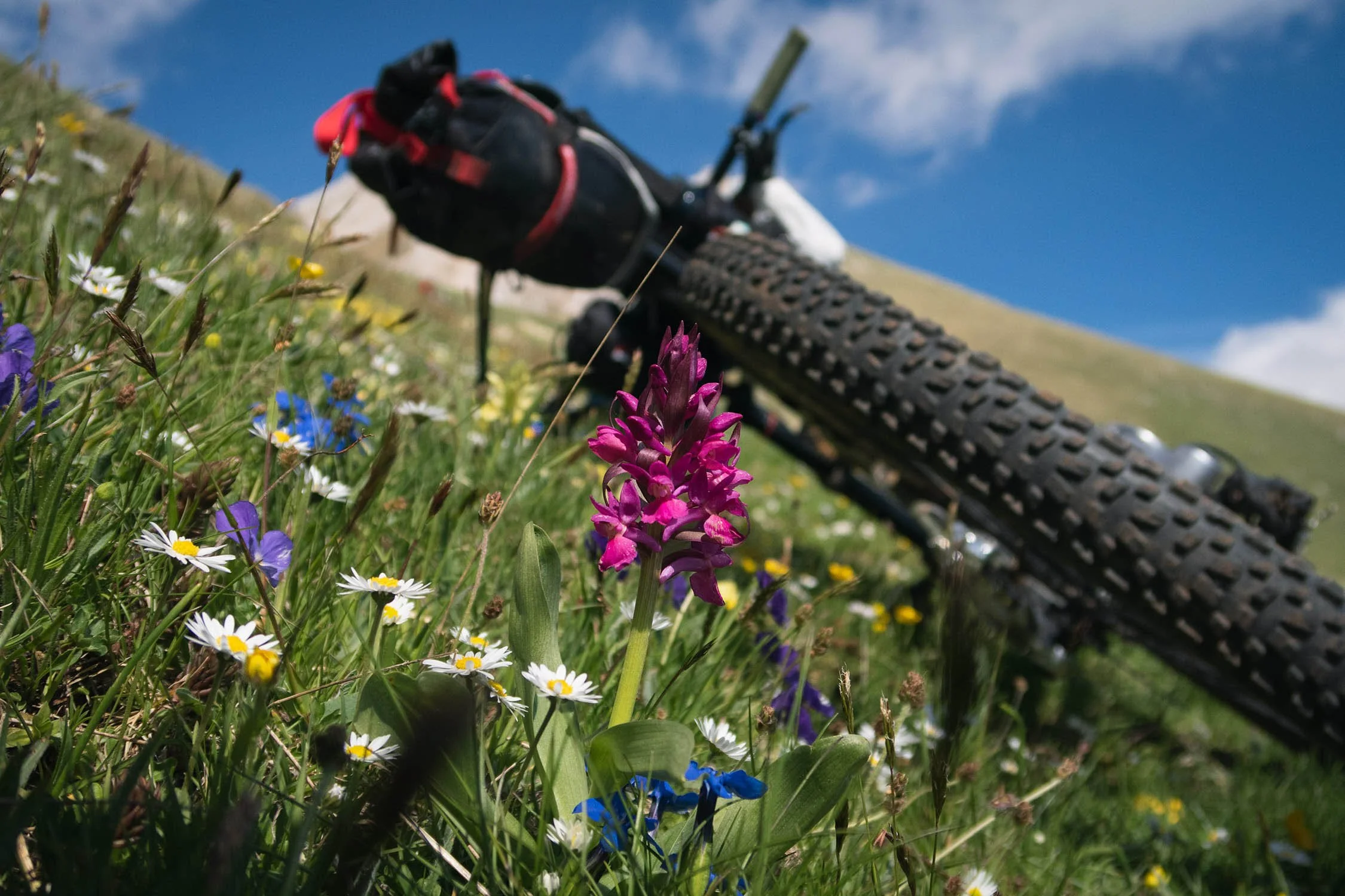
This loop is a tribute to where Montanus was born. In the summer of 2014, we embarked on our first overnighter in the Chiarino Valley, carrying massive backpacks on full-suspension bikes. Six years later, we returned to craft a route that would commemorate those early adventures. The Malecoste Overnighter winds through high-altitude plateaus, dense forests, gurgling streams, and vast valleys, culminating at the majestic Apennine peaks. Despite its modest 60-kilometer length, this route is a microcosm of incredible biodiversity. Wild horses roam free, wolves and foxes slip through the underbrush, and eagles and griffon vultures circle overhead. A stunning variety of wildflowers and rare plants blanket the landscape, making every turn a discovery.
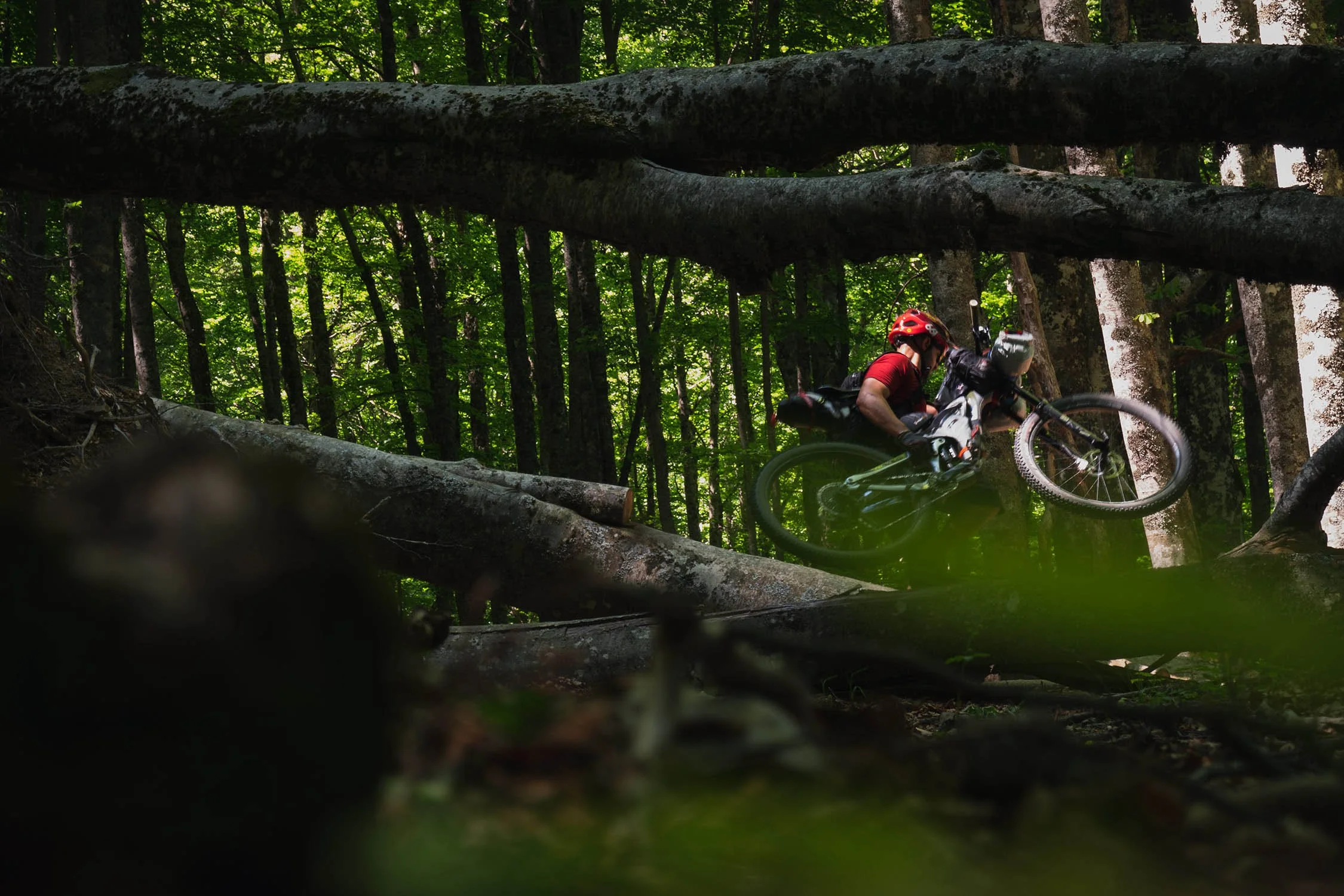
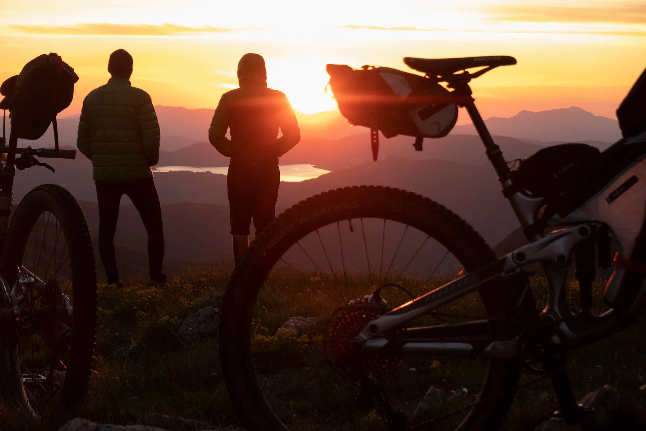
Ascending Monte Jenca and Pizzo Camarda, the trail transitions into the "high mountain" section, where steep but rideable inclines give way to hike-a-bike sections. The climb to Passo Malecoste, the highest point at 7,313 feet (2.229 meters), is challenging but immensely rewarding. This is the most awe-inspiring segment of the overnighter—an amphitheater of stone, where towering rock walls and fields of scree create a scene both grand and intimidating. Malecoste itself resembles a petrified wall of flames, standing sentinel over the valley. From this vantage point, the breathtaking views of Monte Corvo, Pizzo Camarda’s north face, the Chiarino Valley, and the shimmering expanse of Campotosto Lake stretch endlessly across the horizon.


-
View of the western side of Gran Sasso d’Italia and Corno Grande (2914 m), the highest peak of the mountain range.
Views of Mount Malecoste and its unique shape that’s reminiscent of a wall of petrified flames.
The massive Monte Corvo (2623m), one of the most beautiful and remote mountains of the Gran Sasso range.
Views of Val Chiarino and the rocky peaks at the top of the valley (Monte Corvo and Pizzo Camarda).
Orapi (Chenopodium bonus-henricus) are wild spinach that grows over 2000m. They is an endemic species of this in the Gran Sasso mountains. You can find orapi in the Chiarino Valley during the spring, and they’re perfect to prepare a tasty wild food mixture with leaves of Ursino garlic (Allium ursinum), that grows in the same valley.
Passo del Belvedere (1789 m) and the views over Monti della Laga mountain range and Campotosto Lake.
A post-ride wood fired pizza at “Il Vecchio Forno” is a must. The pizzeria is located at the end of the route in the small village of Arischia.
Amazing artisanal gelato at “Bar Centrale” in Arischia.
A pic-nic area and a butchery at the end of the route are strategically located just in case of a post-ride BBQ. You can’t miss the super tasty local “arrosticini”.
-
Take high mountain clothing with you, even in the summer. Weather and temperatures can suddenly change, especially over in highest part of the route.
Best bike: a front suspended or full-suspension bike are recommended for this mountain route. It’s not a route for gravel bikes.
When to go: the ideal riding season is between mid-May and mid-October. Consider that you may have to cross some snowfields in May/June. It’s depends on the amount of snow has fallen in the winter.
-
This overnighter was designed with two options to camp, both close to a water source (spring). The first one is at Passo del Belvedere and the second one is in the Chiarino valley, where the route meets a stream. The choice depends on your speed and fitness.
Rifugio Fioretti (1503 m) at km 38 can be the third option. It’s located at the bottom of Chiarino Valley, but you’d need to move at a quick pace to reach it. The refugio features a small room that’s always open with a fireplace and enough space for 2-3 people. It’s also a nice option in the event of bad weather.
-
Drinking water is never an issue on the route, thanks to water fountains and streams along the way. Note that the fountain in Passo del Belvedere (KM 25.8) is located at the end of a singletrack that leaves the route for about 1km. The singletrack is flat and all rideable.
Food can be bought from two grocery stores (noted on the GPX) in the small village of Arischia, close to the start of the route. There is no food resupply along the route
ROUTE DIFFICULTY: 8/10
This is not a beginner-friendly ride. Best described as an "alpine route," it demands both physical endurance and technical skill. Steep climbs, technical descents, hike-a-bike sections, and even snow crossings in the spring make this an advanced bikepacking experience. With significant elevation gain packed into a relatively short distance, this route earns its 8/10 difficulty rating.
!! WARNING !!
We STRONGLY DISCOURAGE anyone without the necessary skills and mindset for extreme environments—such as mountains, deserts, river crossings, and remote water and food resupply—to follow the routes on this site. These routes are designed primarily for EXPLORATION and are not intended for traditional bike touring. If your experience is solely in cycling, without a solid background in outdoor survival and self-sufficiency, you are STRONGLY ADVISED AGAINST attempting these routes. They demand an adventurous spirit, adaptability, and the ability to handle unforeseen challenges in the field. Proceed entirely at your own risk. While every effort has been made to provide accurate GPS tracks and route information, we cannot guarantee their reliability over time due to factors such as land access changes, property rights restrictions, and the closure of supply points. All the information provided on this site is more than sufficient to ride these routes. Please do not email us requesting additional info about the routes, as you will not receive a response - sorry for that. Further information for every route can be found in the comments on Bikepacking.com (click on “Check it on Bikepacking.com” button). The route creators are in no way responsible for personal injuries, damage to property, or any other incidents that may occur while riding or following these routes.